Bearwallow Mountain Trail — Asheville Sunset Hike
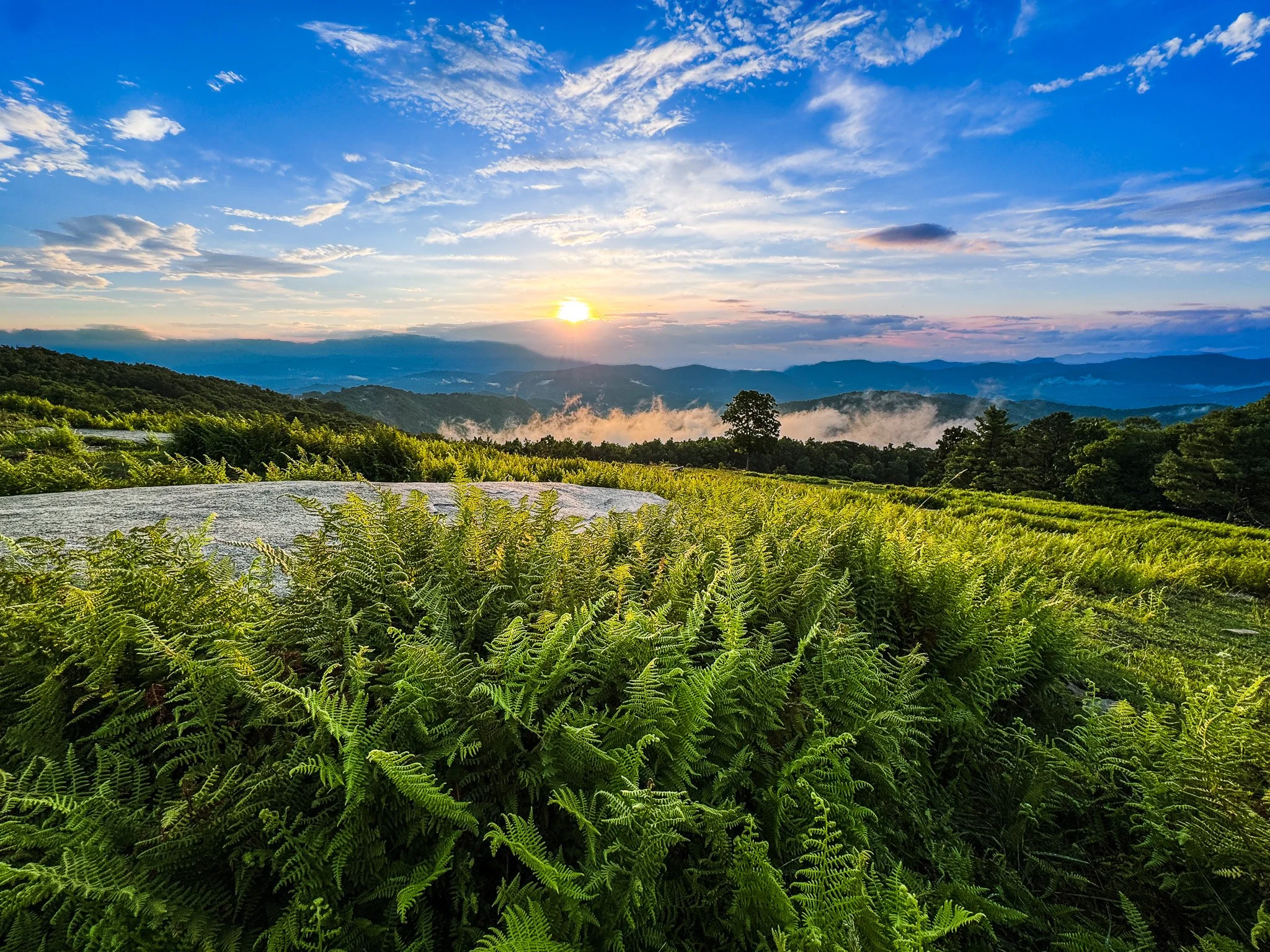
One of my favorite ways to relax after a busy week is a sunset hike and perhaps my favorite place to do this is Bearwallow Mountain. This scenic summit meadow in Henderson County is one of the few spots in the Hickory Nut Gorge where you can watch the sun drop behind a wall of Appalachian peaks — and then stick around as the sky fills with stars. If you’re looking for a great sunset hike near Asheville, Bearwallow is a great option.
Here's how to plan the hike so you catch every bit of it.
Bearwallow Mountain Trail Quick Facts:
AllTrails Rating: Moderate
Distance: 2.1 miles, round trip
Elevation Gain: 574 ft
Estimated Hiking Time: 1-1.5 hours (not including time to take in the scenic views)
Why Sunset Changes the Experience
Most hikers tackle Bearwallow midday for the views alone, but the mountain's open, grassy meadow with panoramic views makes it the perfect unobstructed perch for watching the sun set over the Blue Ridge Mountains. Because the summit is a working cattle farm with no tree cover to block the horizon, you get an uninterrupted light show that a forested peak simply can't match — followed by a clear shot at the stars once the color fades.
Bring a headlamp or flashlight. Whether you're timing it for sunset, planning a full-moon walk, or staying for stargazing, you'll be finishing at least part of this hike in the dark.
Getting to the Trailhead
The trailhead sits at Bearwallow Gap, at the crest of Bearwallow Mountain Road. The parking area is limited to gravel pull-offs on either side of the road climbing the hillside, so if you're bringing a group, carpool — and don't block the neighboring property's gate, road, or driveway.
The Bearwallow Mountain trailhead itself is well marked with an information kiosk sitting between the service road on the left and the trail — marked by a wooden archway — on the right.
⚠️ Road Closures: As of July 2026
Bearwallow Mountain Road through the town of Gerton is still restricted following damage from Hurricane Helene. Please do not drive through Gerton to reach the trailhead for Bearwallow Mountain.
Also worth noting, portions of Bearwallow Mountain Road are a single lane due to ongoing repairs following Hurricane Helene.
The Climb
The approximately one-mile trail switchbacks its way up through the forest almost from the start, so you'll want to arrive with enough daylight buffer to hike at a comfortable pace rather than racing the sunset. I recommend starting an hour and a half before sunset — this gives you plenty of time to take in golden hour before the sun dips below the mountain peaks.
~0.4 miles — You'll hit a stretch of rock stairs built by the Carolina Mountain Club's Friday Crew, a solid sign you're making real progress up the slope.
~0.5 miles — A sharp switchback marks the spot where the trail finally levels out and bends around Bearwallow's western ridge, giving your legs a brief rest.
~0.7 miles — More rock stairs appear as the trail works its way up the mountain's north-facing slopes.
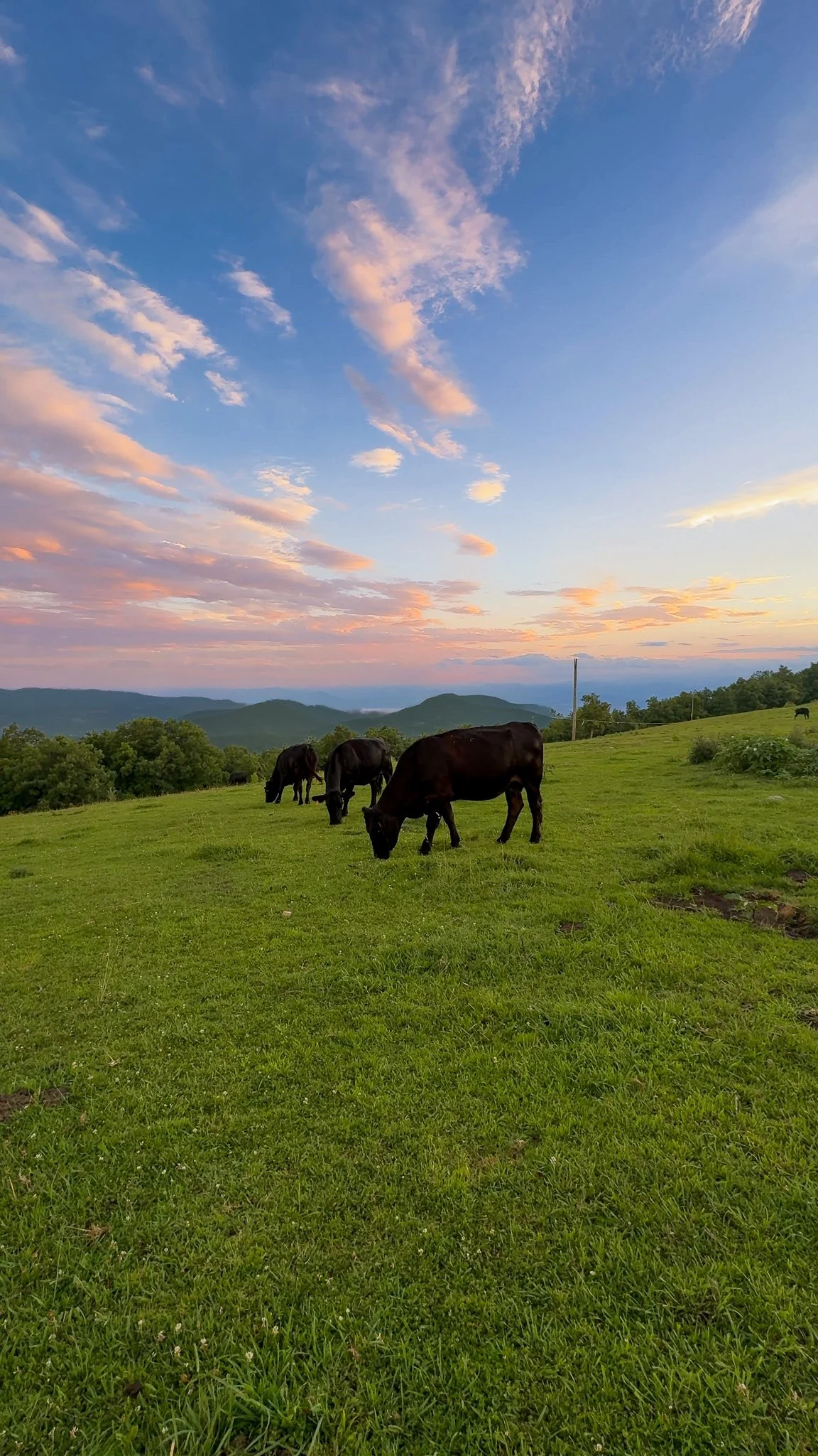
~0.8 miles — The forest opens into the grassy summit meadow, often shared with grazing cattle. Push a little farther to the top of the meadow for the full panoramic payoff.
From the top of the meadow, a gravel road continues on to the historic fire tower at the true summit.
What You'll See From the Top
At 4,232 feet above sea level, Bearwallow is the highest point in the Bearwallow Highlands Range and the tallest summit in the Hickory Nut Gorge. It also sits directly on the Eastern Continental Divide, splitting the watersheds that drain toward the Atlantic and the Gulf of Mexico. The open bald gives you almost a full circle of visibility:
West — Best for sunset: the Great Balsams, Mt. Pisgah, and the Great Smoky Mountains beyond
South — Hendersonville, Tryon Peak, and a look into South Carolina
East — A high vantage over the Hickory Nut Gorge toward Lake Lure
North — The Black Mountains, including Mt. Mitchell, the highest peak east of the Mississippi
Position yourself facing west as evening approaches, then swing around for the other views once the light softens — the north-facing look at Mt. Mitchell is especially good in that golden last light.
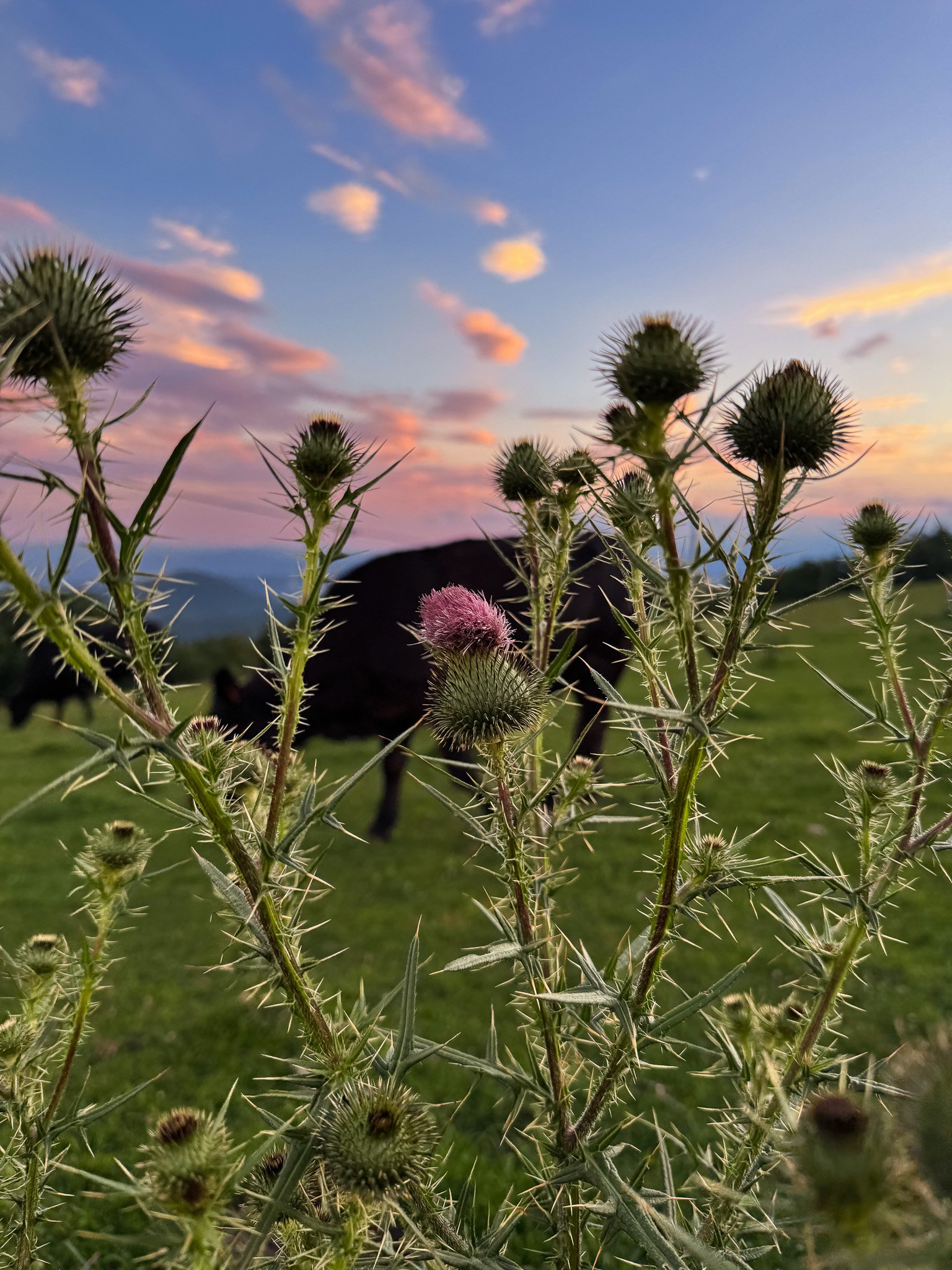
And another big draw for this trail: COWS! You'll see them scattered across the meadow once you reach the top. We also happened to spot a few wild turkeys on our hike in July 2026.
Getting Back Down in the Dark
For return hikes in the dark, I recommend following the gravel service road from near the fire tower for a loop hike back to the trailhead. Be sure to pack a headlamp or flashlight to help you navigate the road on the way back down.
I recommend a headlamp with a red light option, like this one. The red light is like a "night vision" mode that allows you to see sufficiently without disturbing native wildlife like fireflies!
A Working Farm
It's easy to forget on such a scenic hike, but Bearwallow Mountain is actually private property, and the owners generously allow public access through a conservation easement in partnership with Conserving Carolina. A few ground rules keep it that way:
Stay on the designated trail and road
Keep dogs leashed, and pack out their waste
Leave livestock, plants, and wildlife undisturbed
No camping, campfires, hunting, or firearms
Foot traffic only — no bikes, horses, or motorized vehicles
Park only in designated areas; other vehicles risk being towed
No alcohol, illegal substances, or unpermitted commercial activity
Pack out everything you bring in
Treat it with the same care you'd want shown to your own backyard, and this sunset spot will stay open for the next hiker, too.
FAQs
Where is Bearwallow Mountain located?
It is in Henderson County, North Carolina.
30-minute drive from Downtown Hendersonville
1 hour 15 minutes from Greenville, SC
40 minutes from Asheville, NC
Who owns the cows on Bearwallow Mountain?
The Lyda family owns the cows. They also own the mountain top at Bearwallow Mountain. Instead of selling the land for future development, they opted instead to put the mountain top into a conservation easement in partnership with Conserving Carolina and allow for it to be utilized by hikers while they continue to farm the land and graze cattle there.
What is a conservation easement?
A conservation easement is a legal agreement a landowner voluntarily enters into with a land trust to protect their property long-term. It doesn't change who owns the land — the Lyda family still owns and farms Bearwallow's summit — but it does permanently rule out uses like large-scale development or logging, keeping the land's scenic, agricultural, and ecological value intact for good. It's the reason this mountaintop is still an open pasture with grazing cattle instead of another ridge lined with houses, and why hikers get to share it.

Hi, I’m Jess
I’m here to help you plan epic adventures. If you’re looking for authentic travel guides that mix luxe lodging and incredible dining with out of this world hikes and adventures, you’re in the right place.



Planning a trip to Door County? These are the best restaurants on the peninsula.